 GeoData.NZ
Coastal and Landfast Sea Ice Thickness in Western Ross Sea, Antarctica, from Airborne Electromagnetic Induction in November 2017: Granite Harbour and New Harbour and Ice between
The data are approximately 800 km of airborne electromagnetic survey of coastal sea ice and sub-ice platelet layer (SIPL) thickness distributions in the western Ross Sea, Antarctica, from McMurdo Sound to Cape Adare. Data were collected between 8 and 13 November 2017, within 30 days of the maximum fast ice extent in this region. Approximately 700 km of the transect was over landfast sea ice that had been mechanically attached to the coast for at least 15 days. Most of the ice was first-year sea ice. Unsmoothed in-phase and quadrature components are presented at all locations. Data have been smoothed with an 100 point median filter, and in-phase and quadrature smoothed data are also presented at all locations. Beneath level ice it is possible to identify the thickness of an SIPL and a filter is described (Langhorne et al) to identify level ice. Level ice in-phase, quadrature and SIPL thickness, derived from these, are presented at locations of level ice. For rough ice, the in-phase component is considered the best measure of sea ice thickness. For level ice where there is the possibility of an SIPL, then the quadrature component is considered the best measure of ice thickness, along with SIPL thickness. All data are in meters.
Simple
- Date (Creation)
- 2022-11-09T11:07:00
- Date (Publication)
- 2022-11-09T11:07:00
Identifier
No information provided.
- Identifier
- https://doi.org/10.1594/PANGAEA.950401
- Status
- completed Completed
- Keywords
-
- SUB-ICE PLATLET LAYER
- AIRBORNE ELECTROMAGNETIC INDUCTION
- K066A
- GCMD Earth Science and Earth Science Services Keywords
-
- SEA ICE DYNAMICS
- SEA ICE
- ICE DEPTH/THICKNESS
- SEA ICE ELEVATION
- ICE GROWTH/MELT
- GCMD Platform/Sources Keywords
-
- Air-based Platforms
- UAV
- GCMD Locations Keywords
-
- ANTARCTICA
- MCMURDO SOUND
- ROSS SEA
- Use limitation
- This data set conforms to the CC BY Attribution License (https://creativecommons.org/licenses/by/4.0/)
- Hierarchy level
- Dataset
- Date
- Statement
- Creative Commons Attribution 4
- gmd:disseminationConstraints
- License
- Access constraints
- License
- Use constraints
- License
- Metadata language
- English
- Character set
- utf8 UTF8
- Topic category
-
- Oceans
- Geoscientific information
N
S
E
W
))
- Begin date
- 2017-11-08T00:00:00
- End date
- 2017-11-13T00:00:00
- Distribution format
-
- OnLine resource
- PANGAEA ( WWW:DOWNLOAD-1.0-http--download )
- File identifier
- 9f595e1b-860d-4b42-aacc-fbe35fcba34f XML
- Metadata language
- English
- Character set
- anyValidURI
- Hierarchy level
- Dataset
- Date stamp
- 2024-03-05T01:17:12
- Metadata standard name
- ISO 19115-1
- Metadata standard version
- 2018
Overviews
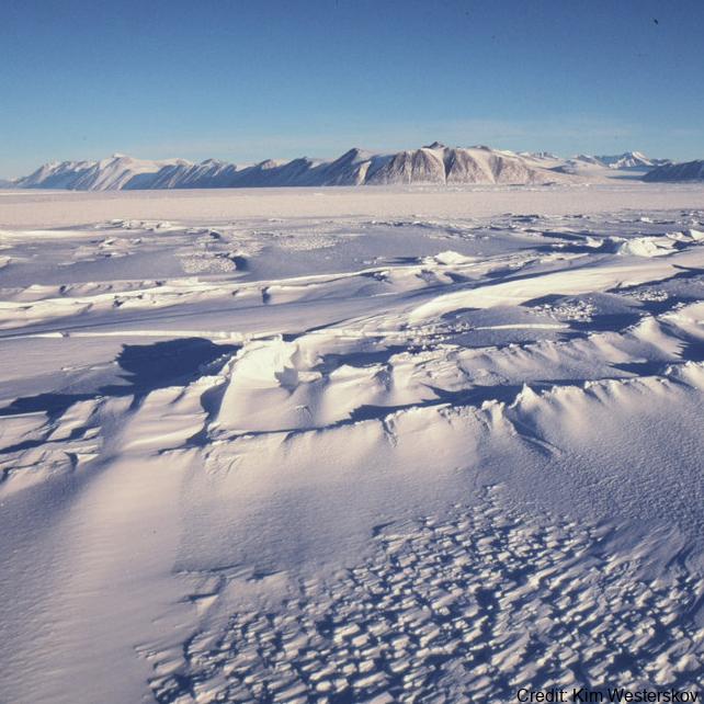
Credit: Kim Westerskov
Spatial extent
N
S
E
W
Provided by

Associated resources
Not available