 GeoData.NZ
Antarctic Daily Mesoscale Air Temperature Dataset Derived from Remotely Sensed Land and Ice Surface Temperature – AntAir ICE
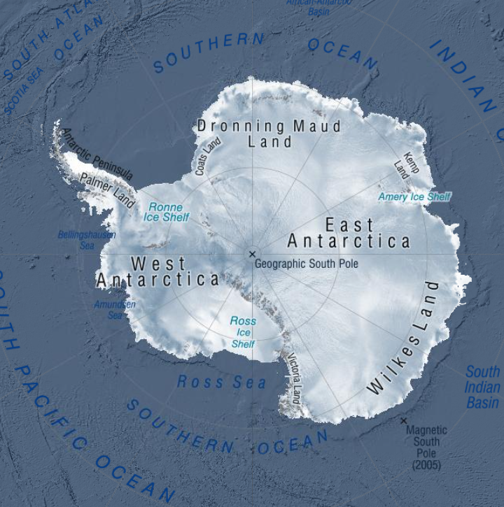
AntAir ICE is an air temperature dataset for terrestrial Antarctica, the ice shelves, and the seasonal sea ice around Antarctica in a 1km2 spatial grid resolution and a daily temporal resolution available from 2003-2021. AntAir ICE was produced by modelling air temperature from MODIS ice surface temperature and land surface temperature using linear models. In-situ measurements of air temperature from 117 Automatic Weather Stations were used as the response variable. Each day has a bricked spatial raster with two layers, saved as a GeoTIFF format and in the Antarctic Polar Stereographic projection (EPSG 3031). The first layer is the predicted near surface air temperature for that day in degree Celsius * 10 and the second layer is the number of available MODIS scenes for that day ranging from 0 to 4. Areas with cloud contamination or without sea ice are marked with no data. Files for each year (2003-2021) are compressed with a ZIP files for each quarter.
Python 3.8 was used for conversion of the MODIS products from HDF files to raster and all data handling and processing was thereafter done in R version 4.0.0. All data processing and modelling procedures are available as R scripts on a public Github repository: https://github.com/evabendix/AntAir-ICE. Using this code it is possible to download new available MODIS LST and IST scenes and apply the model to continue the near-surface air temperature dataset.
Related Publication: https://doi.org/10.1038/s41597-023-02720-z
GET DATA: https://doi.org/10.1594/PANGAEA.954750
Simple
- Date (Creation)
- 2023-11-27T00:00:00
- Date (Publication)
- 2023-11-27T00:00:00
Identifier
- Identifier
- https://doi.org/10.1594/PANGAEA.954750
- Status
- completed Completed
- Keywords
-
- GCMD Earth Science and Earth Science Services Keywords
-
- AIR TEMPERATURE
- GCMD Platform/Sources Keywords
-
- WEATHER STATIONS
- GCMD Instrument/Sensors Keywords
-
- AWS
- Passive Remote Sensing
- MODIS
- GCMD Locations Keywords
-
- ANTARCTICA
- Use limitation
- This data set conforms to the CC BY Attribution License (https://creativecommons.org/licenses/by/4.0/)
- Hierarchy level
- Dataset
- Date
- Statement
- Creative Commons Attribution 4
- gmd:disseminationConstraints
- License
- Access constraints
- License
- Use constraints
- License
- Metadata language
- English
- Character set
- utf8 UTF8
- Topic category
-
- Climatology, meteorology, atmosphere
))
))
- Begin date
- 2003-01-01
- End date
- 2021-01-01
- Supplemental Information
- The dataset is in a GeoTIFF format and in the Antarctic Polar Stereographic projection (EPSG 3031) with one file per day. Each day is a bricked spatial raster with two layers; the first layer is the predicted near surface air temperature for that day in degree Celsius using a scaling factor of 0.1, the second layer is the number of available MODIS scenes for each grid cell for that day ranging from 0 to 4. Areas with cloud contamination or without sea ice are marked with no data. The files are names AntAir_ICE_<YYYY>_<DOY>.tif, where <YYYY> represents the year and <DOY> represents the day of year. Files for each year (2003-2021) are divided into quarters with January, February, March as 1, April, May, June as 2, July, August, September as 3 and October, November, December as 4 and compressed to ZIP files.
- Distribution format
-
- Statement
- The data set was checked for completeness, correctness, and consistency of metainformation. Validity of used methods was checked and - if applicable - precision and range of data.
- File identifier
- 7c6288b5-80e2-447d-8bdb-6e3cec4424e0 XML
- Metadata language
- English
- Character set
- anyValidURI
- Hierarchy level
- Dataset
- Date stamp
- 2024-03-18T02:18:38
- Metadata standard name
- ISO 19115-1
- Metadata standard version
- 2018
Overviews
Spatial extent
Provided by
