 GeoData.NZ
Drill hole measurements of fast ice and sub-ice platelet layer thickness, and snow depth in McMurdo Sound - November 2018
Here, we present drill hole measurements carried out at 14 field sites distributed over a ~1500 km^2 area of fast ice in the south of McMurdo Sound, Antarctica between 1 and 19 November 2018. At each site, five holes were drilled in the fast ice at the centre and end points of two cross‐profile lines, each 30 metre long. Sea ice and SIPL thicknesses were measured with a suspended thickness probe and metal bar using the procedure described in Price et al. (2014). Snow depth measurements at centimetre accuracy were made at half‐metre intervals along the cross‐profiles using a metal ruler or a GPS‐equipped Magnaprobe. Sea ice freeboard (i.e., the height of the sea ice surface above sea level) was measured in each of the drill holes. The average value for each parameter was calculated at each field site to provide a representative measurement over the 30 metre cross-profile fast ice area. The drill hole measurements were used to underpin spatial distribution surveys of the aforementioned parameters, to inform electromagnetic induction forward and inverse models, and to ground-validate satellite altimetry assessments of fast ice freeboard and derived ice thickness in McMurdo Sound.
Simple
- Date (Creation)
- 2023-08-31T00:00:00
- Date (Publication)
- 2023-08-31T00:00:00
Identifier
No information provided.
- Identifier
- https://doi.org/10.1594/PANGAEA.933050
- Status
- completed Completed
- Maintenance and update frequency
- Not planned
- Keywords
-
- SUB-ICE PLATELET LAYER
- FAST ICE
- K066A
- GCMD Earth Science and Earth Science Services Keywords
-
- SEA ICE
- SNOW DEPTH
- SEA ICE DYNAMICS
- ICE DEPTH/THICKNESS
- GCMD Platform/Sources Keywords
-
- DRILLING PLATFORMS
- FIELD SURVEYS
- GCMD Instrument/Sensors Keywords
-
- MAGNAPROBE
- GPS
- GCMD Locations Keywords
-
- ANTARCTICA
- MCMURDO SOUND
- Use limitation
- This data set conforms to the CC BY Attribution License (https://creativecommons.org/licenses/by/4.0/)
- Hierarchy level
- Dataset
- Date
- Statement
- Creative Commons Attribution 4
- gmd:disseminationConstraints
- License
- Access constraints
- License
- Use constraints
- License
- Metadata language
- English
- Character set
- utf8 UTF8
- Topic category
-
- Oceans
N
S
E
W
))
- Begin date
- 2018-11-01T00:00:00
- End date
- 2018-11-19T00:00:00
- Distribution format
-
- OnLine resource
- Pangaea ( WWW:DOWNLOAD-1.0-http--download )
Overviews
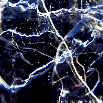
Credit: Natalie Robinson
Spatial extent
N
S
E
W
Provided by

Associated resources
Not available