 GeoData.NZ
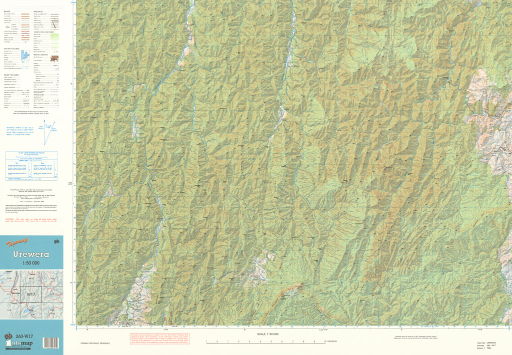
Urewera
The NZMS 260 series provides topographical information for the New Zealand mainland, Chatham Islands and Auckland Islands at the 1:50,000 scale. Full coverage of the country was achieved. The series was published between 1977 and 2007. It was superseded by NZTopo50 (New Zealand mainland and Chatham Islands) and NZOITopo50 (Auckland Islands).
Simple
- Identifier
- UoA: 260000000714tmp
- Date (Publication)
- 1990-01-01T00:00:00
- Edition
- Edition 1
- Presentation form
- Digital map
- Name
- NZMS 260
- Issue identification
- Sheet W17
- Other citation details
- NZMS260, New Zealand Mapping Service
- Collective title
- New Zealand Topographic Map 1:50,000
Point of contact
Land Information New Zealand
0800 665 463 (toll free within NZ)
+ 64 4 472 2244
https://www.linz.govt.nz/
PO Box 5501
,
Wellington
,
6145
,
New Zealand
+ 64 4 460 0110
0800 665 463 (toll free within NZ)
+ 64 4 472 2244
https://www.linz.govt.nz/
- Maintenance and update frequency
- Not planned
- Keywords
-
- contours
- hydrography
- power lines
- railways
- relief shading
- roads
- settlements
- vegetation
- Other constraints
- Crown Copyright Reserved
- Other constraints
- Creative Commons Attribution 4.0 International (CC BY 4.0) Licence (https://creativecommons.org/licenses/by/4.0/).
- Denominator
- 50000
- Topic category
-
- Metadata language
- eng
- Character set
- UTF8
- Begin date
- 1990-01-01T00:00:00Z
- End date
- 1990-01-01T00:00:00Z
N
S
E
W
))
- Reference system identifier
- EPSG: 4272 / Datum: New Zealand Geodetic Datum 1949 (NZGD1949)
- Reference system identifier
- EPSG: 27200 / Projection: New Zealand Map Grid (NZMG)
- OnLine resource
- 300 ppi JPEG image ( WWW:LINK-1.0-http--link )
- OnLine resource
- 300 ppi TIFF image ( WWW:LINK-1.0-http--link )
- OnLine resource
- 300 ppi GeoTIFF image ( WWW:LINK-1.0-http--link )
- Statement
- This map was digitised in 2011 by the University of Auckland. The original hardcopy was scanned from the LINZ/NZDF collection held at the NZDF Map Library.
- File identifier
- 0f18aa0f-ad8a-4aab-9078-bb1d5fec3101 XML
- Metadata language
- English
- Character set
- UTF8
- Hierarchy level
- Map
- Metadata standard name
- Based on ISO 19115-1:2014, Geographic Information - Metadata
- Metadata standard version
- 1
Point of contact
The University of Auckland
-
GeoDataHub Manager
Private Bag 92019
,
Auckland
,
1142
,
New Zealand
https://geodatahub.library.auckland.ac.nz/
Overviews
Preview
Spatial extent
N
S
E
W
Provided by

Associated resources
Not available